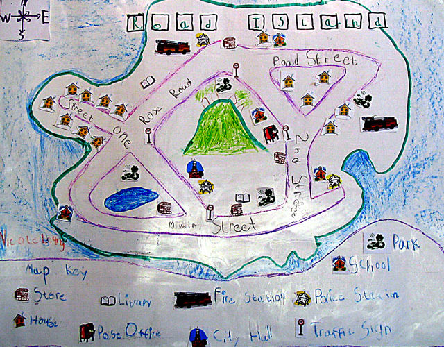
 And here is the first in a long series of school projects for Nicole. This first project was to create a map of a neighborhood, then add streets, a legend, and a compass rose. For adults, this seemed easy enough, however, I didn’t realize that little kids are not really used to planning. I wanted Nicole to do the whole thing so she wouldn’t have to say, “I helped get the scissors!” So, she came up with the name “Road Island”. She then named her streets and we then drew a mock-up on a scrap piece of paper. At first, her Island was a little blob in the corner, but after some encouragement, she used the whole sheet. Then came the roads…she drew about 15 parallel lines. I told her it wouldn’t fit, so we went with a few simple streets. I traced the outline and she finished off the big work.
Thank goodness for technology! We printed out the symbols and all she had to do was paste them on the map and then label them on the map key. Of course, the labeling was the hardest part of the project. So you can see it involved a lot of coaching to get through the whole process. It took us over a week to get this final product but I hope that she can start thinking in advance…or at least, I will have a better handle at helping her on her projects.
She just completed her family tree project, fortunately, I had everything in the computer. Her next project is to research New York City and write a few sentences on it, create a book of her favorite things, and a science project on the Sun. Whew! I hope I’m up to the task!
You may also like
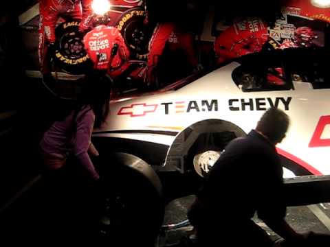
After many years of visiting the Daytona area, we finally took a tour of the track via the NASCAR Experience. There were […]
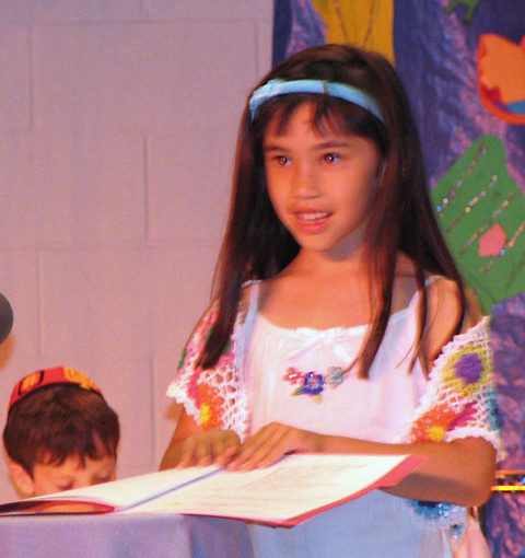
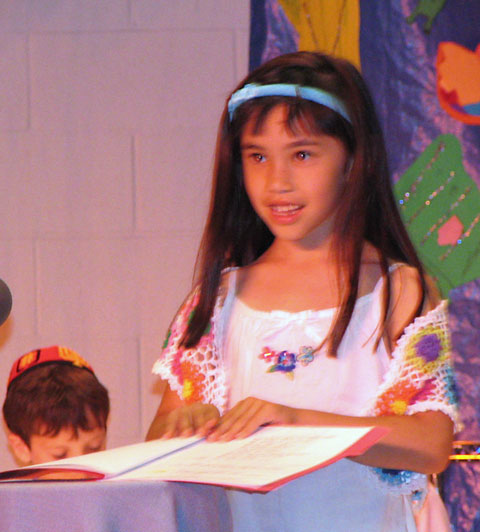
Tonight, Nicole received her Siddur. The Siddur is the Hebrew Prayer book. It contains all the prayers that are essential to Jewish […]
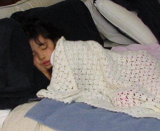
After spending 7-1/2 hours at the hospital, we were finally able to take Nicole home. The doctor said that everything was as […]
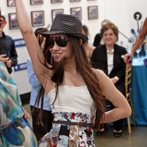
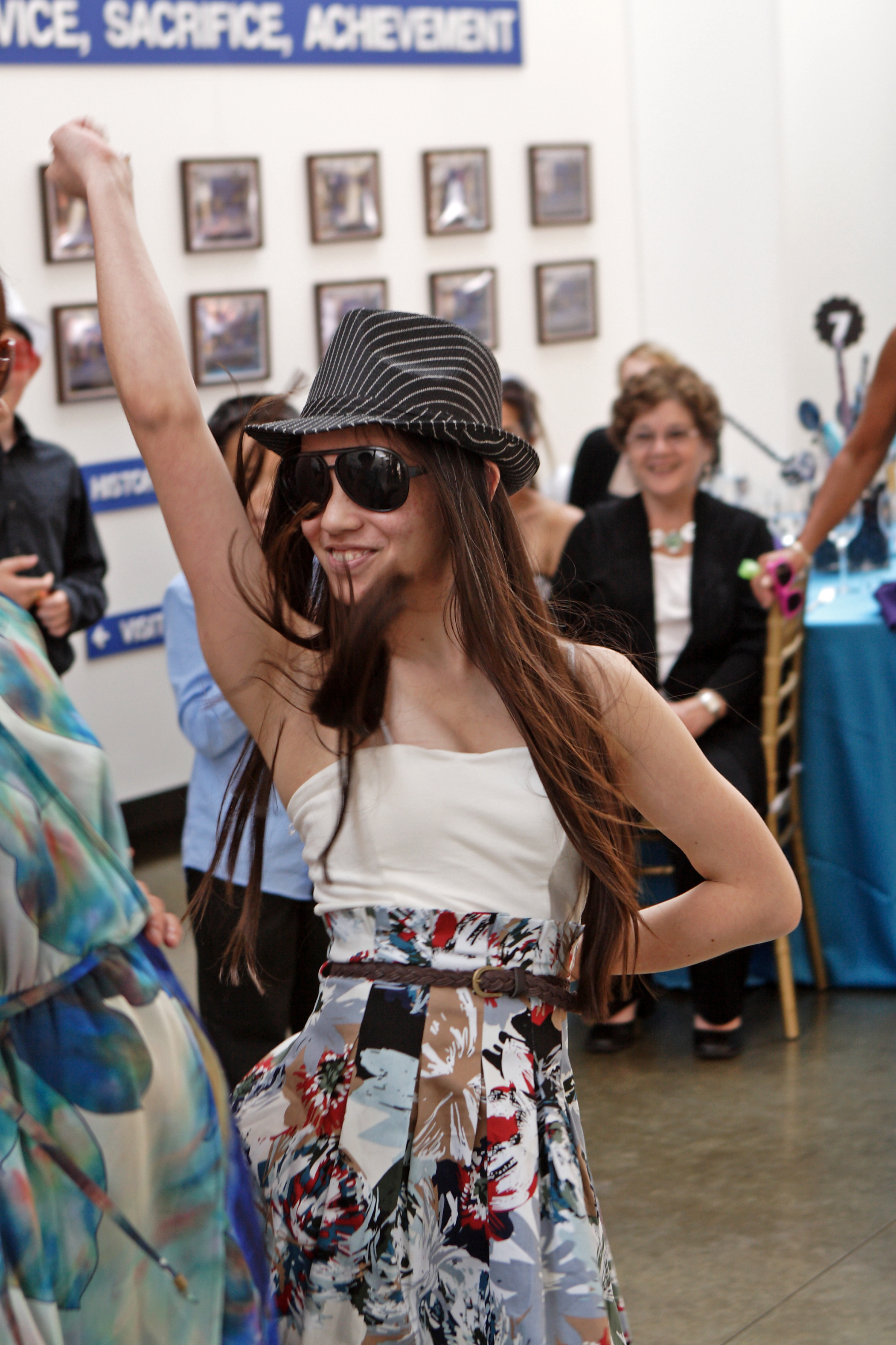
La Chaim! So it only took us a year and a half to get the pictures posted on-line! Click on the picture […]
One thought on “Road Island”
It sounds like Nicole is really growing up very well..I like the project of the neighborhood…It really made her think and get out there to see what her environment is like….You are doing fantastic Nicole…and about the Reading…Reading is great..It helps you escape your real life for a while and also you get to learn about a lot of different thing. Good Luck.